Path between Medomsley and High Westwood
Introduction
The photograph on this page of Path between Medomsley and High Westwood by Robert Graham as part of the Geograph project.
The Geograph project started in 2005 with the aim of publishing, organising and preserving representative images for every square kilometre of Great Britain, Ireland and the Isle of Man.

There are currently over 7.5m images from over 14,400 individuals and you can help contribute to the project by visiting https://www.geograph.org.uk
Path between Medomsley and High Westwood
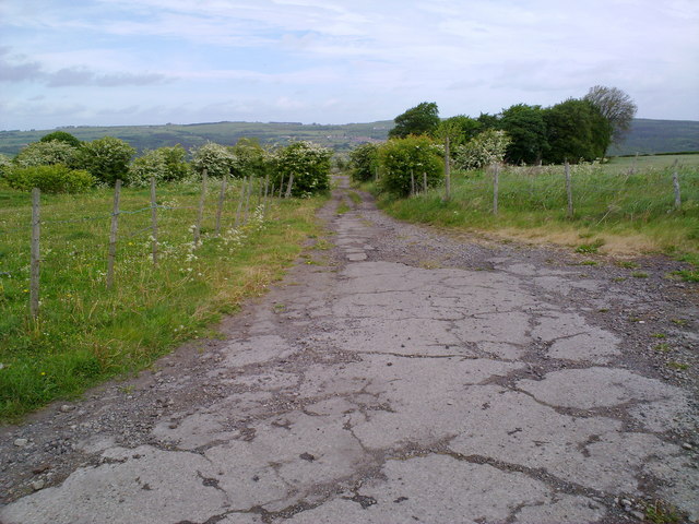
Image: © Robert Graham Taken: 18 May 2011
Looking North down the path. This section is just above Allendale Farm. On the horizon are the North slopes of the Derwent Valley.
Images are licensed for reuse under creativecommons.org/licenses/by-sa/2.0
Image Location
Latitude
54.892662
Longitude
-1.818026