Loch an D?in
Introduction
The photograph on this page of Loch an D?in by Anne Burgess as part of the Geograph project.
The Geograph project started in 2005 with the aim of publishing, organising and preserving representative images for every square kilometre of Great Britain, Ireland and the Isle of Man.

There are currently over 7.5m images from over 14,400 individuals and you can help contribute to the project by visiting https://www.geograph.org.uk
Loch an D?in
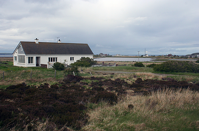
Image: © Anne Burgess Taken: 13 May 2011
A modern house stands not far from the shore of the loch. The name of the loch refers to the dùn, or ancient fortified place, on a tiny islet off the southern shore. On the far side of the loch is the coastguard communication mast at Upper Aird.
Images are licensed for reuse under creativecommons.org/licenses/by-sa/2.0
Image Location
Latitude
58.243723
Longitude
-6.166593