Dulas River, Llanfilo
Introduction
The photograph on this page of Dulas River, Llanfilo by Phillip Perry as part of the Geograph project.
The Geograph project started in 2005 with the aim of publishing, organising and preserving representative images for every square kilometre of Great Britain, Ireland and the Isle of Man.

There are currently over 7.5m images from over 14,400 individuals and you can help contribute to the project by visiting https://www.geograph.org.uk
Dulas River, Llanfilo
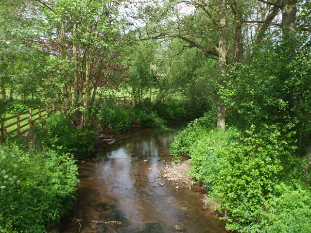
Image: © Phillip Perry Taken: 18 May 2011
According to the map, it's a river, according to me it's more like a stream.
Images are licensed for reuse under creativecommons.org/licenses/by-sa/2.0
Image Location
Latitude
51.996899
Longitude
-3.283747