Bus stops on Claverham Road
Introduction
The photograph on this page of Bus stops on Claverham Road by Derek Harper as part of the Geograph project.
The Geograph project started in 2005 with the aim of publishing, organising and preserving representative images for every square kilometre of Great Britain, Ireland and the Isle of Man.

There are currently over 7.5m images from over 14,400 individuals and you can help contribute to the project by visiting https://www.geograph.org.uk
Bus stops on Claverham Road
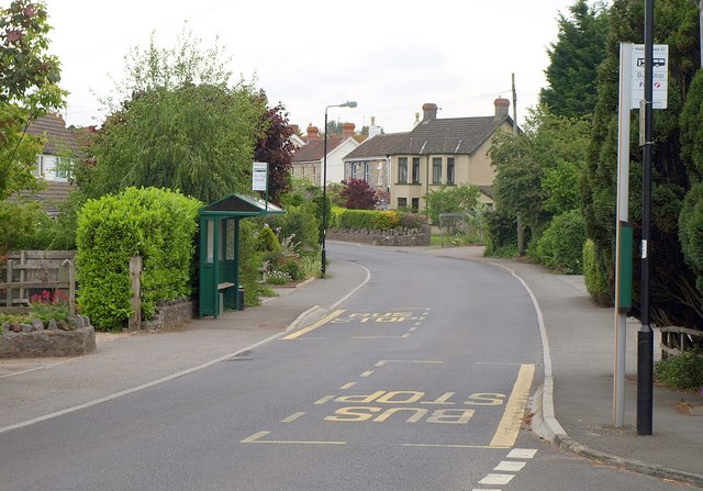
Image: © Derek Harper Taken: 16 May 2011
Claverham Road is a classic example of ribbon development, with housing linking Yatton to Claverham, and fields directly behind the houses on both sides. This is at the junction of Hollowmead Close, which slightly breaks the rule.
Images are licensed for reuse under creativecommons.org/licenses/by-sa/2.0
Image Location
Latitude
51.387436
Longitude
-2.798972