Land prepared for new housing development
Introduction
The photograph on this page of Land prepared for new housing development by David Howard as part of the Geograph project.
The Geograph project started in 2005 with the aim of publishing, organising and preserving representative images for every square kilometre of Great Britain, Ireland and the Isle of Man.

There are currently over 7.5m images from over 14,400 individuals and you can help contribute to the project by visiting https://www.geograph.org.uk
Land prepared for new housing development
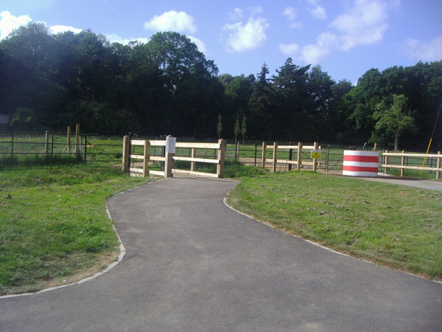
Image: © David Howard Taken: 22 May 2011
Two fields either side of Binfield Road have been taken to build a new housing development called The Carillons. The new road on the right behind this view has already been completed.
Images are licensed for reuse under creativecommons.org/licenses/by-sa/2.0
Image Location
Latitude
51.416238
Longitude
-0.811441