Southern boundary of Usk
Introduction
The photograph on this page of Southern boundary of Usk by Jaggery as part of the Geograph project.
The Geograph project started in 2005 with the aim of publishing, organising and preserving representative images for every square kilometre of Great Britain, Ireland and the Isle of Man.

There are currently over 7.5m images from over 14,400 individuals and you can help contribute to the project by visiting https://www.geograph.org.uk
Southern boundary of Usk
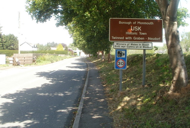
Image: © Jaggery Taken: 22 May 2011
The road from Llangybi via Llanbadoc reaches the town of Usk, twinned with Graben-Neudorf in Germany since 1980. Usk is obviously very proud of winning the Wales in Bloom competition.
Images are licensed for reuse under creativecommons.org/licenses/by-sa/2.0
Image Location
Latitude
51.698838
Longitude
-2.90718