Threlkeld village seen from the quarry
Introduction
The photograph on this page of Threlkeld village seen from the quarry by Rose and Trev Clough as part of the Geograph project.
The Geograph project started in 2005 with the aim of publishing, organising and preserving representative images for every square kilometre of Great Britain, Ireland and the Isle of Man.

There are currently over 7.5m images from over 14,400 individuals and you can help contribute to the project by visiting https://www.geograph.org.uk
Threlkeld village seen from the quarry
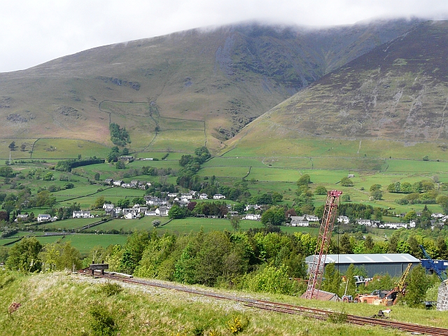
Image: © Rose and Trev Clough Taken: 8 May 2011
Zoomed-in view from the Threlkeld Quarry and Mining Museum http://www.threlkeldquarry.co.uk/index.htm . The fells are Blease (left) and Gategill.
Images are licensed for reuse under creativecommons.org/licenses/by-sa/2.0
Image Location
Latitude
54.618886
Longitude
-3.05364