Thrimby Grange on the A6
Introduction
The photograph on this page of Thrimby Grange on the A6 by John Firth as part of the Geograph project.
The Geograph project started in 2005 with the aim of publishing, organising and preserving representative images for every square kilometre of Great Britain, Ireland and the Isle of Man.

There are currently over 7.5m images from over 14,400 individuals and you can help contribute to the project by visiting https://www.geograph.org.uk
Thrimby Grange on the A6
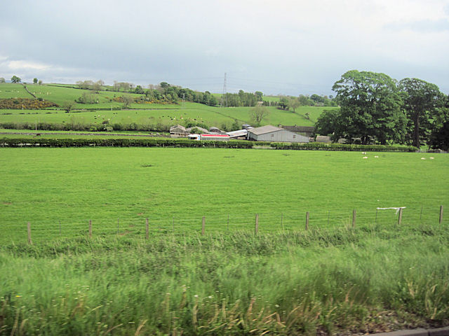
Image: © John Firth Taken: 13 May 2011
Viewed from M6 southbound. The A6 runs parallel to the M6 here to the east then shortly burrows under the M6 at Shap
Images are licensed for reuse under creativecommons.org/licenses/by-sa/2.0
Image Location
Latitude
54.571288
Longitude
-2.686431