Checkpoint 4, High Burnham Farm
Introduction
The photograph on this page of Checkpoint 4, High Burnham Farm by Ian S as part of the Geograph project.
The Geograph project started in 2005 with the aim of publishing, organising and preserving representative images for every square kilometre of Great Britain, Ireland and the Isle of Man.

There are currently over 7.5m images from over 14,400 individuals and you can help contribute to the project by visiting https://www.geograph.org.uk
Checkpoint 4, High Burnham Farm
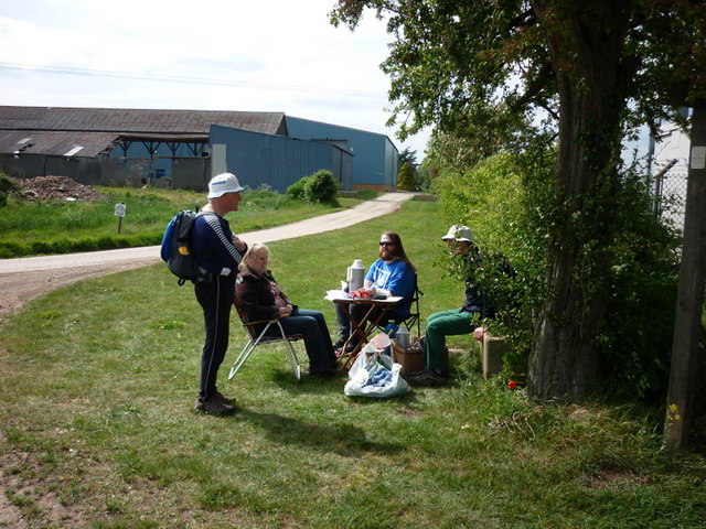
Image: © Ian S Taken: 21 May 2011
The checkpoint staff talk to the sweepers while we wait for 2 walkers to catch up. This is one of 7 Checkpoints on the 50 mile Peatlands Way from Thorne. The sweepers job is to follow at a distance the last walkers around the course to make sure no one gets lost.
Images are licensed for reuse under creativecommons.org/licenses/by-sa/2.0
Image Location
Latitude
53.501564
Longitude
-0.818758