Cupola Bridge
Introduction
The photograph on this page of Cupola Bridge by Christine Westerback as part of the Geograph project.
The Geograph project started in 2005 with the aim of publishing, organising and preserving representative images for every square kilometre of Great Britain, Ireland and the Isle of Man.

There are currently over 7.5m images from over 14,400 individuals and you can help contribute to the project by visiting https://www.geograph.org.uk
Cupola Bridge
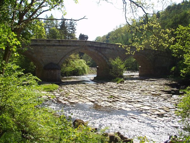
Image: © Christine Westerback Taken: Unknown
Spanning the River Allen built circa 1789 the bridge got its name from a type of lead smelting furnace. Below is a fine limestone pavement.
Images are licensed for reuse under creativecommons.org/licenses/by-sa/2.0
Image Location
Latitude
54.929755
Longitude
-2.321432