Disused Pit, nr Blue Mill Lane, Woodham Walter
Introduction
The photograph on this page of Disused Pit, nr Blue Mill Lane, Woodham Walter by Roger Jones as part of the Geograph project.
The Geograph project started in 2005 with the aim of publishing, organising and preserving representative images for every square kilometre of Great Britain, Ireland and the Isle of Man.

There are currently over 7.5m images from over 14,400 individuals and you can help contribute to the project by visiting https://www.geograph.org.uk
Disused Pit, nr Blue Mill Lane, Woodham Walter
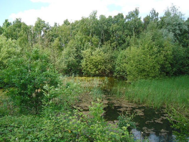
Image: © Roger Jones Taken: 21 May 2011
Water and Nature seem to have successfully colonised this old pit, South of Blue Mill Lane, Woodham Walter
Images are licensed for reuse under creativecommons.org/licenses/by-sa/2.0
Image Location
Latitude
51.735117
Longitude
0.622731