The village pump
Introduction
The photograph on this page of The village pump by Michael Trolove as part of the Geograph project.
The Geograph project started in 2005 with the aim of publishing, organising and preserving representative images for every square kilometre of Great Britain, Ireland and the Isle of Man.

There are currently over 7.5m images from over 14,400 individuals and you can help contribute to the project by visiting https://www.geograph.org.uk
The village pump
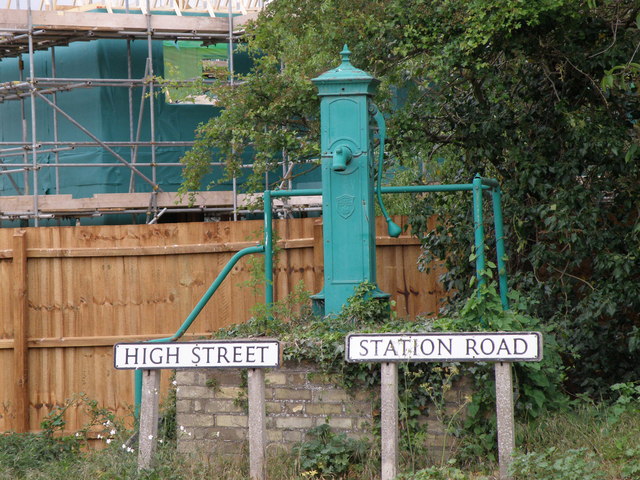
Image: © Michael Trolove Taken: 18 May 2011
Huge changes around this area. Originally the back drop was Striplands farm, this has all been demolished and is being replaced by a large housing development. Potential purchasers may be put off by the lack of mains water !!
Images are licensed for reuse under creativecommons.org/licenses/by-sa/2.0
Image Location
Latitude
52.287274
Longitude
0.045681