Footpath, Congresbury
Introduction
The photograph on this page of Footpath, Congresbury by Derek Harper as part of the Geograph project.
The Geograph project started in 2005 with the aim of publishing, organising and preserving representative images for every square kilometre of Great Britain, Ireland and the Isle of Man.

There are currently over 7.5m images from over 14,400 individuals and you can help contribute to the project by visiting https://www.geograph.org.uk
Footpath, Congresbury
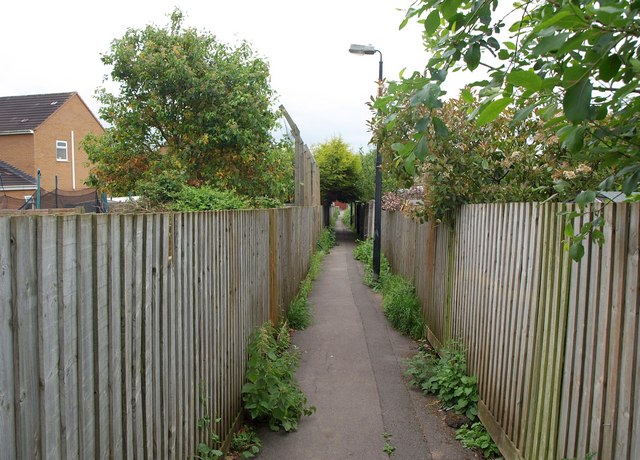
Image: © Derek Harper Taken: 16 May 2011
Running through a housing estate between fences, and linking Southlands Way to Well Park.
Images are licensed for reuse under creativecommons.org/licenses/by-sa/2.0
Image Location
Latitude
51.372914
Longitude
-2.805471