Lowertown Bridge, Lerryn
Introduction
The photograph on this page of Lowertown Bridge, Lerryn by Rod Allday as part of the Geograph project.
The Geograph project started in 2005 with the aim of publishing, organising and preserving representative images for every square kilometre of Great Britain, Ireland and the Isle of Man.

There are currently over 7.5m images from over 14,400 individuals and you can help contribute to the project by visiting https://www.geograph.org.uk
Lowertown Bridge, Lerryn
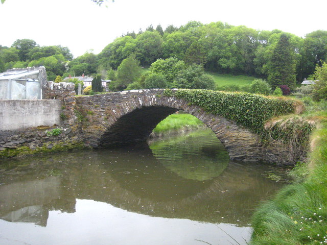
Image: © Rod Allday Taken: 17 May 2011
This bridge over a small creek was constructed in the early 1900s to bring coal from where it was landed at Lerryn Quay, where Lerryn Quay House now stands Image
Images are licensed for reuse under creativecommons.org/licenses/by-sa/2.0
Image Location
Latitude
50.382355
Longitude
-4.62026