Ringhaddy Quay
Introduction
The photograph on this page of Ringhaddy Quay by Bob Jones as part of the Geograph project.
The Geograph project started in 2005 with the aim of publishing, organising and preserving representative images for every square kilometre of Great Britain, Ireland and the Isle of Man.

There are currently over 7.5m images from over 14,400 individuals and you can help contribute to the project by visiting https://www.geograph.org.uk
Ringhaddy Quay
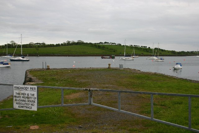
Image: © Bob Jones Taken: 24 May 2005
Ringhaddy Quay was built in the early part of the 19th century, or possibly earlier, and is one of the best examples of a medium-sized quay in Strangford Lough. It is in private ownership and access is restricted
Images are licensed for reuse under creativecommons.org/licenses/by-sa/2.0
Image Location


Leaflet Map data © OpenStreetMap
Latitude
54.451669
Longitude
-5.631574