New Farm Chapel, New Alresford
Introduction
The photograph on this page of New Farm Chapel, New Alresford by Michael FORD as part of the Geograph project.
The Geograph project started in 2005 with the aim of publishing, organising and preserving representative images for every square kilometre of Great Britain, Ireland and the Isle of Man.

There are currently over 7.5m images from over 14,400 individuals and you can help contribute to the project by visiting https://www.geograph.org.uk
New Farm Chapel, New Alresford
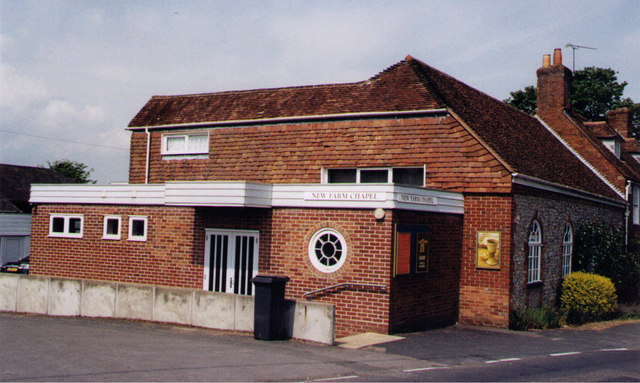
Image: © Michael FORD Taken: Unknown
Grade 2 listed building built as a stable in the 18c and converted into a Christian Fellowship Chapel in 1956.
Images are licensed for reuse under creativecommons.org/licenses/by-sa/2.0
Image Location
Latitude
51.086675
Longitude
-1.177994