St John the Baptist Danbury
Introduction
The photograph on this page of St John the Baptist Danbury by Glyn Baker as part of the Geograph project.
The Geograph project started in 2005 with the aim of publishing, organising and preserving representative images for every square kilometre of Great Britain, Ireland and the Isle of Man.

There are currently over 7.5m images from over 14,400 individuals and you can help contribute to the project by visiting https://www.geograph.org.uk
St John the Baptist Danbury
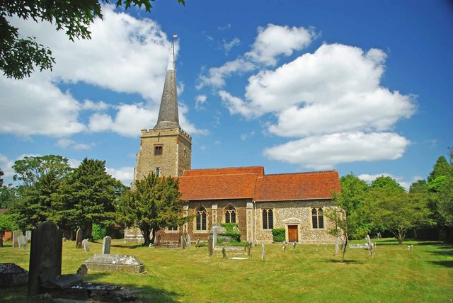
Image: © Glyn Baker Taken: 20 May 2011
The churchyard is within the confines of an iron age hill fort called Danbury Camp see Image and http://www.themodernantiquarian.com/site/8059/danbury.html
Images are licensed for reuse under creativecommons.org/licenses/by-sa/2.0
Image Location
Latitude
51.716589
Longitude
0.574024