Huntlyburn Cottages
Introduction
The photograph on this page of Huntlyburn Cottages by Walter Baxter as part of the Geograph project.
The Geograph project started in 2005 with the aim of publishing, organising and preserving representative images for every square kilometre of Great Britain, Ireland and the Isle of Man.

There are currently over 7.5m images from over 14,400 individuals and you can help contribute to the project by visiting https://www.geograph.org.uk
Huntlyburn Cottages
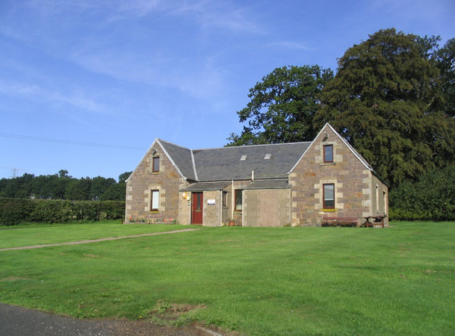
Image: © Walter Baxter Taken: 17 Sep 2006
These former dwellings are now offices for NHS Borders West Team
Images are licensed for reuse under creativecommons.org/licenses/by-sa/2.0
Image Location


Leaflet Map data © OpenStreetMap
Latitude
55.593473
Longitude
-2.748123