Heathland on Horns Hill
Introduction
The photograph on this page of Heathland on Horns Hill by Hugh Craddock as part of the Geograph project.
The Geograph project started in 2005 with the aim of publishing, organising and preserving representative images for every square kilometre of Great Britain, Ireland and the Isle of Man.

There are currently over 7.5m images from over 14,400 individuals and you can help contribute to the project by visiting https://www.geograph.org.uk
Heathland on Horns Hill
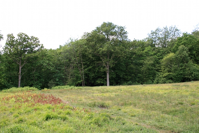
Image: © Hugh Craddock Taken: 20 May 2011
This part of the plantation below Horns Hill has been felled and appears to be an area of heathland restoration. The south perimeter ride crosses the foot of the clearing.
Images are licensed for reuse under creativecommons.org/licenses/by-sa/2.0
Image Location
Latitude
51.324264
Longitude
-0.339486