Annesley Park
Introduction
The photograph on this page of Annesley Park by Trevor Rickard as part of the Geograph project.
The Geograph project started in 2005 with the aim of publishing, organising and preserving representative images for every square kilometre of Great Britain, Ireland and the Isle of Man.

There are currently over 7.5m images from over 14,400 individuals and you can help contribute to the project by visiting https://www.geograph.org.uk
Annesley Park
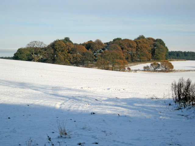
Image: © Trevor Rickard Taken: 28 Nov 2010
Looking east from Kennel Lane across the undulating parkland. This area was once the pleasure grounds belonging to Annesley Hall - see Image The park contains the remains of a 13th century motte and bailey castle (Castle Hill) and was used as a deer park from 1327. Major landscaping took place during the 17th century and further improvements to the grounds were carried out by John Chaworth-Musters from 1859. Today it is used for cattle and sheep grazing.
Images are licensed for reuse under creativecommons.org/licenses/by-sa/2.0
Image Location
Latitude
53.058395
Longitude
-1.251391