Paramoor Woods
Introduction
The photograph on this page of Paramoor Woods by Tony Atkin as part of the Geograph project.
The Geograph project started in 2005 with the aim of publishing, organising and preserving representative images for every square kilometre of Great Britain, Ireland and the Isle of Man.

There are currently over 7.5m images from over 14,400 individuals and you can help contribute to the project by visiting https://www.geograph.org.uk
Paramoor Woods
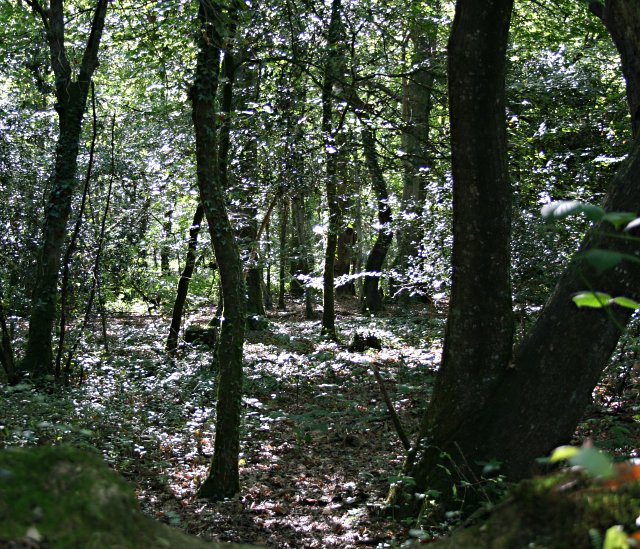
Image: © Tony Atkin Taken: 15 Sep 2006
A large area of mixed woodland occupying the northeast section of this grid square.
Images are licensed for reuse under creativecommons.org/licenses/by-sa/2.0
Image Location
Latitude
50.304401
Longitude
-4.840828