Bench Mark, Templepatrick
Introduction
The photograph on this page of Bench Mark, Templepatrick by Rossographer as part of the Geograph project.
The Geograph project started in 2005 with the aim of publishing, organising and preserving representative images for every square kilometre of Great Britain, Ireland and the Isle of Man.

There are currently over 7.5m images from over 14,400 individuals and you can help contribute to the project by visiting https://www.geograph.org.uk
Bench Mark, Templepatrick
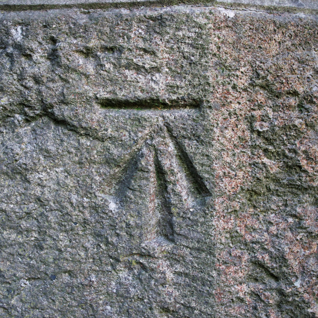
Image: © Rossographer Taken: 19 May 2011
Cut bench mark located on a railway bridge on the outskirts of Templepatrick Image This mark was created in the mid 1970's when it was discovered that a flush bracket on the bridge had been removed - see Image The mark has been levelled to 59.51 metres above MSL. See also http://www.geograph.org.uk/search.php?i=11037856 for many other examples I have found.
Images are licensed for reuse under creativecommons.org/licenses/by-sa/2.0
Image Location
Latitude
54.704499
Longitude
-6.080978