Eastbourne roof scape
Introduction
The photograph on this page of Eastbourne roof scape by Oast House Archive as part of the Geograph project.
The Geograph project started in 2005 with the aim of publishing, organising and preserving representative images for every square kilometre of Great Britain, Ireland and the Isle of Man.

There are currently over 7.5m images from over 14,400 individuals and you can help contribute to the project by visiting https://www.geograph.org.uk
Eastbourne roof scape
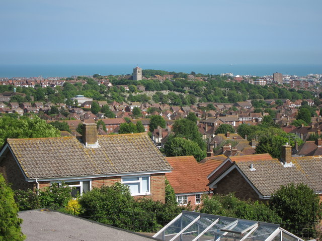
Image: © Oast House Archive Taken: 19 May 2011
Looking from Hill Road towards the coast. Church of St Michael's and All Angels is seen in the centre.
Images are licensed for reuse under creativecommons.org/licenses/by-sa/2.0
Image Location
Latitude
50.779955
Longitude
0.253404