Hoylake: slipway near Meols
Introduction
The photograph on this page of Hoylake: slipway near Meols by Chris Downer as part of the Geograph project.
The Geograph project started in 2005 with the aim of publishing, organising and preserving representative images for every square kilometre of Great Britain, Ireland and the Isle of Man.

There are currently over 7.5m images from over 14,400 individuals and you can help contribute to the project by visiting https://www.geograph.org.uk
Hoylake: slipway near Meols
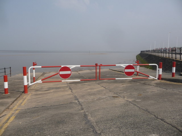
Image: © Chris Downer Taken: 21 Apr 2011
The no-entry signs are perhaps stating the obvious but better that I suppose than a submerged car!
Images are licensed for reuse under creativecommons.org/licenses/by-sa/2.0
Image Location
Latitude
53.402702
Longitude
-3.16985