Road through Coed y Brenin
Introduction
The photograph on this page of Road through Coed y Brenin by David Medcalf as part of the Geograph project.
The Geograph project started in 2005 with the aim of publishing, organising and preserving representative images for every square kilometre of Great Britain, Ireland and the Isle of Man.

There are currently over 7.5m images from over 14,400 individuals and you can help contribute to the project by visiting https://www.geograph.org.uk
Road through Coed y Brenin
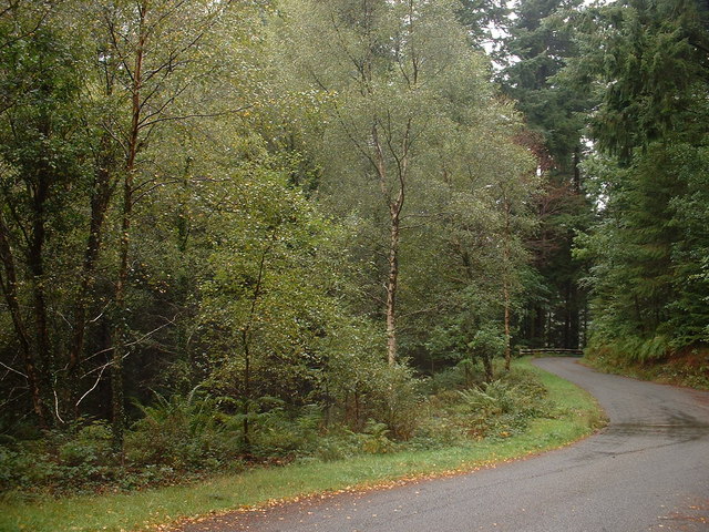
Image: © David Medcalf Taken: 6 Sep 2006
This road links Trawsfynydd with Dolgellau, but there is a much more direct trunk road, the A470, which passes through the same square a few hundred metres to the left.
Images are licensed for reuse under creativecommons.org/licenses/by-sa/2.0
Image Location


Leaflet Map data © OpenStreetMap
Latitude
52.78705
Longitude
-3.874248