Nant-yr-aber, Caerphilly
Introduction
The photograph on this page of Nant-yr-aber, Caerphilly by Jaggery as part of the Geograph project.
The Geograph project started in 2005 with the aim of publishing, organising and preserving representative images for every square kilometre of Great Britain, Ireland and the Isle of Man.

There are currently over 7.5m images from over 14,400 individuals and you can help contribute to the project by visiting https://www.geograph.org.uk
Nant-yr-aber, Caerphilly
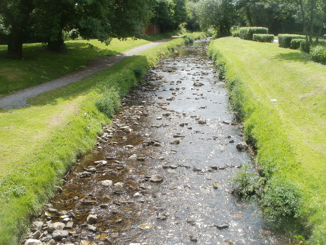
Image: © Jaggery Taken: 19 May 2011
A stream flows towards a bridge carrying the entrance road from Pontygwindy Road to an Asda superstore. http://www.geograph.org.uk/photo/2416364 Nant-yr-aber flows into the Rhymney River about a kilometre away.
Images are licensed for reuse under creativecommons.org/licenses/by-sa/2.0
Image Location
Latitude
51.585366
Longitude
-3.223903