Carr Vale - Water Lane
Introduction
The photograph on this page of Carr Vale - Water Lane by Gordon Elliott as part of the Geograph project.
The Geograph project started in 2005 with the aim of publishing, organising and preserving representative images for every square kilometre of Great Britain, Ireland and the Isle of Man.

There are currently over 7.5m images from over 14,400 individuals and you can help contribute to the project by visiting https://www.geograph.org.uk
Carr Vale - Water Lane
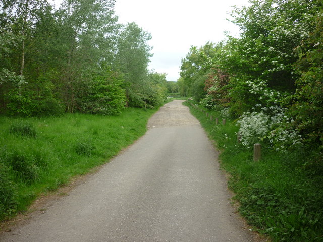
Image: © Gordon Elliott Taken: 18 May 2011
This narrow metaled lane leads out of Carr Vale, ending in a car park by a small fishing pond. Paths lead on past there to the Stockley Trail, a former railway line serving collieries at Glapwell, and now converted into a pleasant country route for walking, cycling or horse riding.
Images are licensed for reuse under creativecommons.org/licenses/by-sa/2.0
Image Location
Latitude
53.221625
Longitude
-1.308758