Broken boundary marker
Introduction
The photograph on this page of Broken boundary marker by Lairich Rig as part of the Geograph project.
The Geograph project started in 2005 with the aim of publishing, organising and preserving representative images for every square kilometre of Great Britain, Ireland and the Isle of Man.

There are currently over 7.5m images from over 14,400 individuals and you can help contribute to the project by visiting https://www.geograph.org.uk
Broken boundary marker
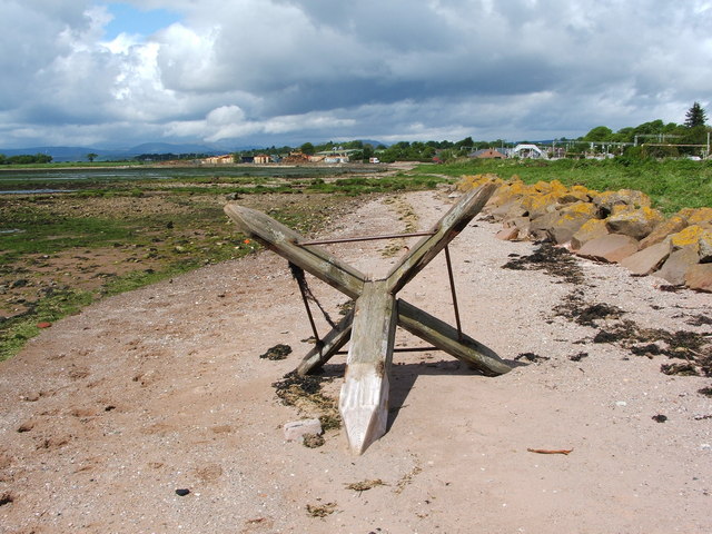
Image: © Lairich Rig Taken: 13 May 2011
The upper part has become detached from the base, which is shown separately in Image; see that item for further information. See the end-note for further pictures, including some that show the structure when it was intact. It is clear from those pictures that what is shown in the present photograph is only a part of the top of the marker.
Images are licensed for reuse under creativecommons.org/licenses/by-sa/2.0
Image Location
Latitude
55.957754
Longitude
-4.649689