The Shore Road, Newtownabbey
Introduction
The photograph on this page of The Shore Road, Newtownabbey by Albert Bridge as part of the Geograph project.
The Geograph project started in 2005 with the aim of publishing, organising and preserving representative images for every square kilometre of Great Britain, Ireland and the Isle of Man.

There are currently over 7.5m images from over 14,400 individuals and you can help contribute to the project by visiting https://www.geograph.org.uk
The Shore Road, Newtownabbey
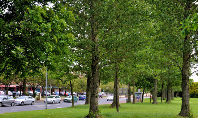
Image: © Albert Bridge Taken: 18 May 2011
The Shore Road runs from York Road, Belfast to Carrickfergus. The Newtownabbey section runs from Greencastle to Jordanstown Image This is the Whitehouse part passing the shops at Merville Image
Images are licensed for reuse under creativecommons.org/licenses/by-sa/2.0
Image Location
Latitude
54.654866
Longitude
-5.911496