Knightstone Rise
Introduction
The photograph on this page of Knightstone Rise by Nigel Mykura as part of the Geograph project.
The Geograph project started in 2005 with the aim of publishing, organising and preserving representative images for every square kilometre of Great Britain, Ireland and the Isle of Man.

There are currently over 7.5m images from over 14,400 individuals and you can help contribute to the project by visiting https://www.geograph.org.uk
Knightstone Rise
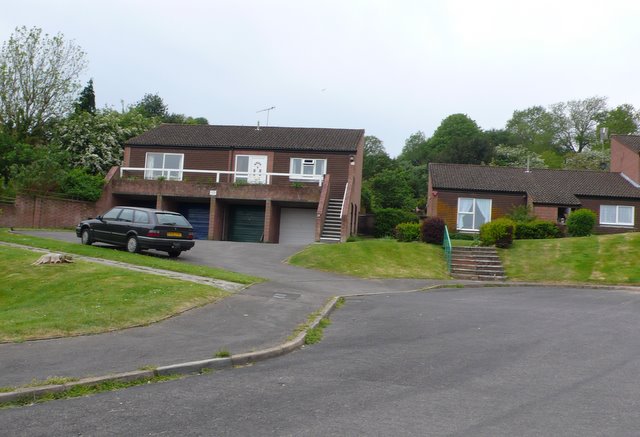
Image: © Nigel Mykura Taken: 4 May 2011
This road is a recent cul-de-sac development of modern detached houses on the eastern slopes of Watton Hill on the northern edge of Bridport.
Images are licensed for reuse under creativecommons.org/licenses/by-sa/2.0
Image Location
Latitude
50.742591
Longitude
-2.745567