View towards Tre-Dodridge
Introduction
The photograph on this page of View towards Tre-Dodridge by John Light as part of the Geograph project.
The Geograph project started in 2005 with the aim of publishing, organising and preserving representative images for every square kilometre of Great Britain, Ireland and the Isle of Man.

There are currently over 7.5m images from over 14,400 individuals and you can help contribute to the project by visiting https://www.geograph.org.uk
View towards Tre-Dodridge
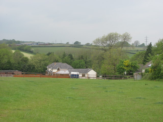
Image: © John Light Taken: 5 May 2011
Taken from the crossroad of tracks east of Tre-Dodridge. The metal kissing gate giving access to the village is in the right foreground. In the background on the hill is Ty With Newydd Stables.
Images are licensed for reuse under creativecommons.org/licenses/by-sa/2.0
Image Location
Latitude
51.486064
Longitude
-3.365267