Access road to Highfield Industrial Estate, Ferndale
Introduction
The photograph on this page of Access road to Highfield Industrial Estate, Ferndale by Jaggery as part of the Geograph project.
The Geograph project started in 2005 with the aim of publishing, organising and preserving representative images for every square kilometre of Great Britain, Ireland and the Isle of Man.

There are currently over 7.5m images from over 14,400 individuals and you can help contribute to the project by visiting https://www.geograph.org.uk
Access road to Highfield Industrial Estate, Ferndale
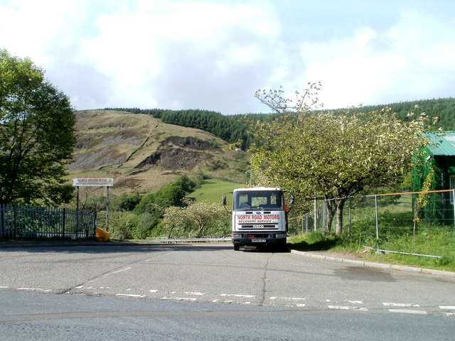
Image: © Jaggery Taken: 11 May 2011
Viewed across The Parade, the local name for the A4233. The dark green building at the right edge of the view is Amerena House. http://www.geograph.org.uk/photo/2413651
Images are licensed for reuse under creativecommons.org/licenses/by-sa/2.0
Image Location
Latitude
51.666305
Longitude
-3.458885