Donaghmore High Cross
Introduction
The photograph on this page of Donaghmore High Cross by Kenneth Allen as part of the Geograph project.
The Geograph project started in 2005 with the aim of publishing, organising and preserving representative images for every square kilometre of Great Britain, Ireland and the Isle of Man.

There are currently over 7.5m images from over 14,400 individuals and you can help contribute to the project by visiting https://www.geograph.org.uk
Donaghmore High Cross
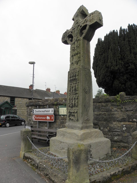
Image: © Kenneth Allen Taken: 16 May 2011
The Cross stands 4.8 metres high and is badly weathered. The North and South sides of the cross feature some ornament. It is located at the head of the village street
Images are licensed for reuse under creativecommons.org/licenses/by-sa/2.0
Image Location
Latitude
54.53104
Longitude
-6.812594