The Stanhope road leading out of Edmunbyers
Introduction
The photograph on this page of The Stanhope road leading out of Edmunbyers by Robert Graham as part of the Geograph project.
The Geograph project started in 2005 with the aim of publishing, organising and preserving representative images for every square kilometre of Great Britain, Ireland and the Isle of Man.

There are currently over 7.5m images from over 14,400 individuals and you can help contribute to the project by visiting https://www.geograph.org.uk
The Stanhope road leading out of Edmunbyers
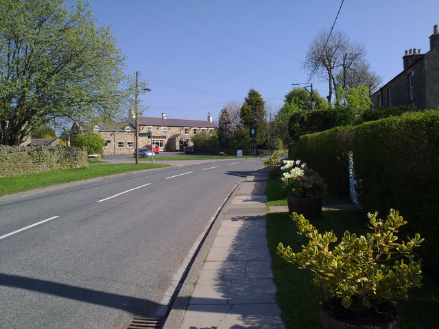
Image: © Robert Graham Taken: 20 Apr 2011
Looking West along the B6278 back into the village
Images are licensed for reuse under creativecommons.org/licenses/by-sa/2.0
Image Location
Latitude
54.844359
Longitude
-1.976299