Walking to Ferndale
Introduction
The photograph on this page of Walking to Ferndale by Jaggery as part of the Geograph project.
The Geograph project started in 2005 with the aim of publishing, organising and preserving representative images for every square kilometre of Great Britain, Ireland and the Isle of Man.

There are currently over 7.5m images from over 14,400 individuals and you can help contribute to the project by visiting https://www.geograph.org.uk
Walking to Ferndale
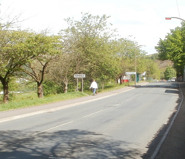
Image: © Jaggery Taken: 11 May 2011
The walker is leaving Maerdy and entering Ferndale, along the A4233, here named Highfield.
Images are licensed for reuse under creativecommons.org/licenses/by-sa/2.0
Image Location
Latitude
51.66706
Longitude
-3.470478