Broomielaw and the River Clyde
Introduction
The photograph on this page of Broomielaw and the River Clyde by John Firth as part of the Geograph project.
The Geograph project started in 2005 with the aim of publishing, organising and preserving representative images for every square kilometre of Great Britain, Ireland and the Isle of Man.

There are currently over 7.5m images from over 14,400 individuals and you can help contribute to the project by visiting https://www.geograph.org.uk
Broomielaw and the River Clyde
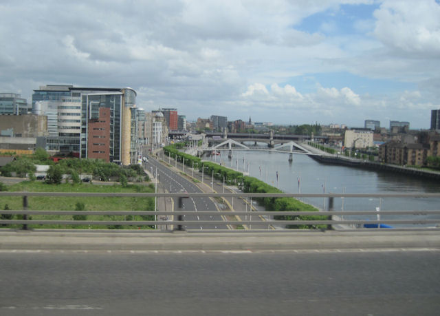
Image: © John Firth Taken: 9 May 2011
Broomielaw is the A814 directly below the photographer. Viewed from M8 westbound
Images are licensed for reuse under creativecommons.org/licenses/by-sa/2.0
Image Location
Latitude
55.856899
Longitude
-4.267768