Blake Street, Maerdy
Introduction
The photograph on this page of Blake Street, Maerdy by Jaggery as part of the Geograph project.
The Geograph project started in 2005 with the aim of publishing, organising and preserving representative images for every square kilometre of Great Britain, Ireland and the Isle of Man.

There are currently over 7.5m images from over 14,400 individuals and you can help contribute to the project by visiting https://www.geograph.org.uk
Blake Street, Maerdy
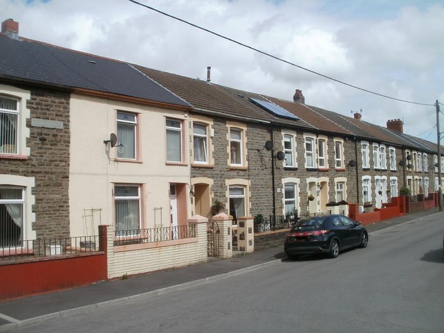
Image: © Jaggery Taken: 11 May 2011
Blake Street follows an inverted-L course on the north side of Maerdy Road (A4233). This view is from the angle of the L, look along houses furthest away from Maerdy Road.
Images are licensed for reuse under creativecommons.org/licenses/by-sa/2.0
Image Location
Latitude
51.671427
Longitude
-3.480742