Footpath by the old town walls
Introduction
The photograph on this page of Footpath by the old town walls by Andrew Hill as part of the Geograph project.
The Geograph project started in 2005 with the aim of publishing, organising and preserving representative images for every square kilometre of Great Britain, Ireland and the Isle of Man.

There are currently over 7.5m images from over 14,400 individuals and you can help contribute to the project by visiting https://www.geograph.org.uk
Footpath by the old town walls
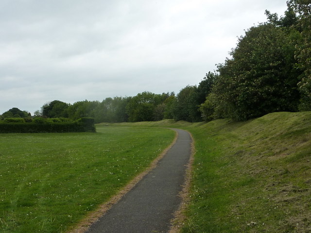
Image: © Andrew Hill Taken: 16 May 2011
The wall and ditch, dating from the 13th century, run to the right of the footpath, providing protection from the open plateau to the east. The embankment now marks the edge of a park and recreation area by Hornscroft Road.
Images are licensed for reuse under creativecommons.org/licenses/by-sa/2.0
Image Location
Latitude
53.22636
Longitude
-1.28861