Rhondda Fach river upstream from the A4233, Maerdy
Introduction
The photograph on this page of Rhondda Fach river upstream from the A4233, Maerdy by Jaggery as part of the Geograph project.
The Geograph project started in 2005 with the aim of publishing, organising and preserving representative images for every square kilometre of Great Britain, Ireland and the Isle of Man.

There are currently over 7.5m images from over 14,400 individuals and you can help contribute to the project by visiting https://www.geograph.org.uk
Rhondda Fach river upstream from the A4233, Maerdy
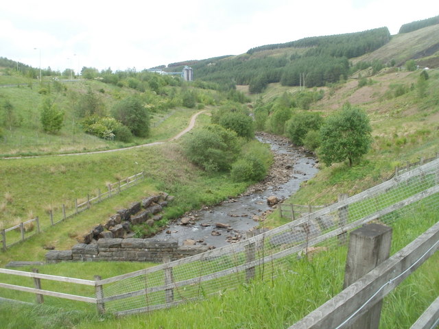
Image: © Jaggery Taken: 11 May 2011
The river flows towards the conduit conveying it under the A4233. In the distance is the Avon factory. http://www.geograph.org.uk/photo/2411413
Images are licensed for reuse under creativecommons.org/licenses/by-sa/2.0
Image Location
Latitude
51.676783
Longitude
-3.48381