Shirley Road
Introduction
The photograph on this page of Shirley Road by Simon Carey as part of the Geograph project.
The Geograph project started in 2005 with the aim of publishing, organising and preserving representative images for every square kilometre of Great Britain, Ireland and the Isle of Man.

There are currently over 7.5m images from over 14,400 individuals and you can help contribute to the project by visiting https://www.geograph.org.uk
Shirley Road
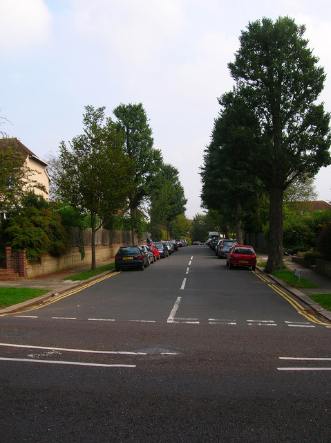
Image: © Simon Carey Taken: 16 Sep 2006
Taken from the junction with Shirley Drive the area was developed between 1893-1920 on land purchased from the Stanford Estate. A good example of leafy suburban Hove.
Images are licensed for reuse under creativecommons.org/licenses/by-sa/2.0
Image Location


Leaflet Map data © OpenStreetMap
Latitude
50.838215
Longitude
-0.16648