Abandoned housing development, Hospital Road, Pontnewynydd
Introduction
The photograph on this page of Abandoned housing development, Hospital Road, Pontnewynydd by Jaggery as part of the Geograph project.
The Geograph project started in 2005 with the aim of publishing, organising and preserving representative images for every square kilometre of Great Britain, Ireland and the Isle of Man.

There are currently over 7.5m images from over 14,400 individuals and you can help contribute to the project by visiting https://www.geograph.org.uk
Abandoned housing development, Hospital Road, Pontnewynydd
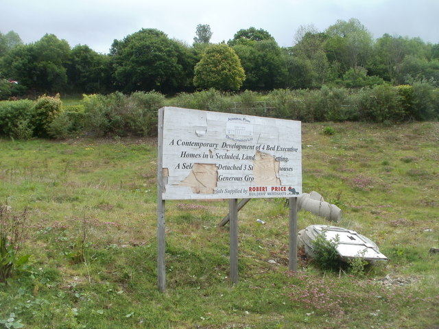
Image: © Jaggery Taken: 9 May 2011
A battered board announces a housing development on a triangle of land between Hospital Road and Leigh Road. Presumably the development was a victim of the credit crunch. The site is mostly weeds, and some pipes. http://www.geograph.org.uk/photo/2412335
Images are licensed for reuse under creativecommons.org/licenses/by-sa/2.0
Image Location
Latitude
51.7138
Longitude
-3.053672