Lower Leigh Road, Pontnewynydd
Introduction
The photograph on this page of Lower Leigh Road, Pontnewynydd by Jaggery as part of the Geograph project.
The Geograph project started in 2005 with the aim of publishing, organising and preserving representative images for every square kilometre of Great Britain, Ireland and the Isle of Man.

There are currently over 7.5m images from over 14,400 individuals and you can help contribute to the project by visiting https://www.geograph.org.uk
Lower Leigh Road, Pontnewynydd
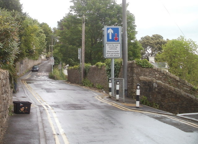
Image: © Jaggery Taken: 9 May 2011
Viewed from the edge of a row of houses. http://www.geograph.org.uk/photo/2412244 The sloping wall on the right is at the edge of a steps http://www.geograph.org.uk/photo/2412267 to a path descending towards Freeholdland Road.
Images are licensed for reuse under creativecommons.org/licenses/by-sa/2.0
Image Location
Latitude
51.715585
Longitude
-3.055161