The lade near Rosshead
Introduction
The photograph on this page of The lade near Rosshead by Lairich Rig as part of the Geograph project.
The Geograph project started in 2005 with the aim of publishing, organising and preserving representative images for every square kilometre of Great Britain, Ireland and the Isle of Man.

There are currently over 7.5m images from over 14,400 individuals and you can help contribute to the project by visiting https://www.geograph.org.uk
The lade near Rosshead
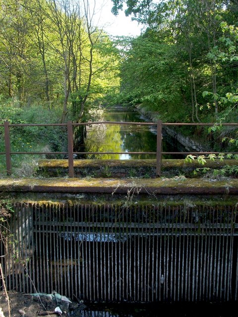
Image: © Lairich Rig Taken: 2 May 2011
The lade draws water from the River Leven by means of the Image; see that item for further details. The present photograph was taken from near that point. See Image for a less obstructed view from further ahead. This is just one of several lades along the course of the River Leven.
Images are licensed for reuse under creativecommons.org/licenses/by-sa/2.0
Image Location
Latitude
55.997319
Longitude
-4.576856