Approaching Mear Farm
Introduction
The photograph on this page of Approaching Mear Farm by Derek Harper as part of the Geograph project.
The Geograph project started in 2005 with the aim of publishing, organising and preserving representative images for every square kilometre of Great Britain, Ireland and the Isle of Man.

There are currently over 7.5m images from over 14,400 individuals and you can help contribute to the project by visiting https://www.geograph.org.uk
Approaching Mear Farm
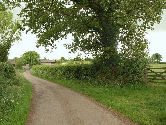
Image: © Derek Harper Taken: 12 May 2011
The lane from Canns Mill to Brownstone Cross takes a bend virtually on a northing gridline; this is the view immediately south of the bend. The lane passing the farm can be seen in Image
Images are licensed for reuse under creativecommons.org/licenses/by-sa/2.0
Image Location
Latitude
50.876165
Longitude
-3.733132