Ferrybridge Road, Nevison, Pontefract, looking south west towards Pontefract Town centre.
Introduction
The photograph on this page of Ferrybridge Road, Nevison, Pontefract, looking south west towards Pontefract Town centre. by Bill Henderson as part of the Geograph project.
The Geograph project started in 2005 with the aim of publishing, organising and preserving representative images for every square kilometre of Great Britain, Ireland and the Isle of Man.

There are currently over 7.5m images from over 14,400 individuals and you can help contribute to the project by visiting https://www.geograph.org.uk
Ferrybridge Road, Nevison, Pontefract, looking south west towards Pontefract Town centre.
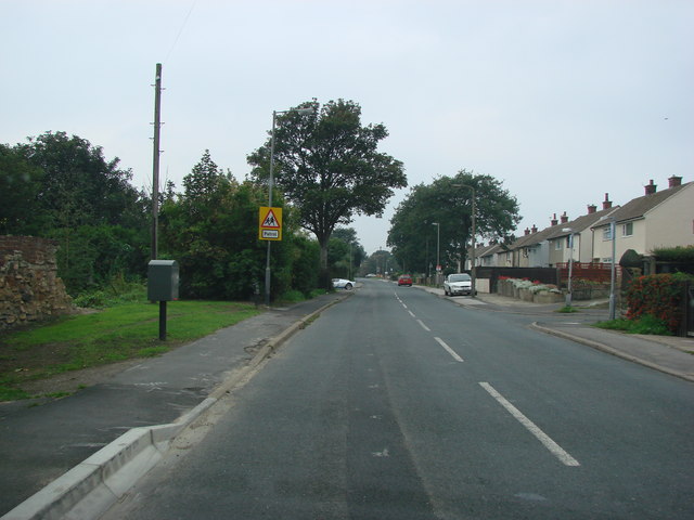
Image: © Bill Henderson Taken: 16 Sep 2006
The tree on the left side of the road, is at the end of Stump Cross Lane. At the base of the tree is the base of an ancient cross which once marked the boundary of Pontefract. This boundary stone is in grid square SE 469234.
Images are licensed for reuse under creativecommons.org/licenses/by-sa/2.0
Image Location
Latitude
53.70582
Longitude
-1.289489