Hougham and Marston Village Hall
Introduction
The photograph on this page of Hougham and Marston Village Hall by Simon Mortimer as part of the Geograph project.
The Geograph project started in 2005 with the aim of publishing, organising and preserving representative images for every square kilometre of Great Britain, Ireland and the Isle of Man.

There are currently over 7.5m images from over 14,400 individuals and you can help contribute to the project by visiting https://www.geograph.org.uk
Hougham and Marston Village Hall
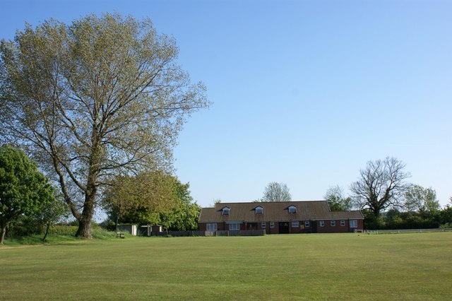
Image: © Simon Mortimer Taken: 2 May 2011
The village hall sits between the two villages on the corner of Bridge Street and Frinkley Lane and looks out across a playing field and cricket pitch.
Images are licensed for reuse under creativecommons.org/licenses/by-sa/2.0
Image Location
Latitude
52.987056
Longitude
-0.669421