Pond on Stanmore Common
Introduction
The photograph on this page of Pond on Stanmore Common by Des Blenkinsopp as part of the Geograph project.
The Geograph project started in 2005 with the aim of publishing, organising and preserving representative images for every square kilometre of Great Britain, Ireland and the Isle of Man.

There are currently over 7.5m images from over 14,400 individuals and you can help contribute to the project by visiting https://www.geograph.org.uk
Pond on Stanmore Common
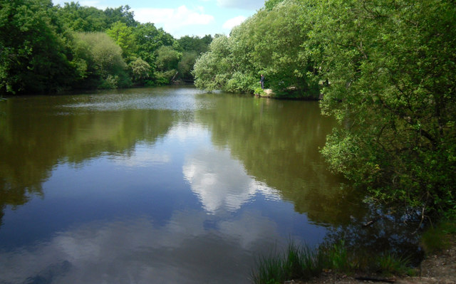
Image: © Des Blenkinsopp Taken: 10 May 2011
Despite its elevation there are a number of ponds on the common and surrounding areas. The sandy aquifer provides the source of several small streams which form the upper tributaries of the Brent catchment or join the Colne.
Images are licensed for reuse under creativecommons.org/licenses/by-sa/2.0
Image Location
Latitude
51.627061
Longitude
-0.322241