Mosterton
Introduction
The photograph on this page of Mosterton by Nigel Mykura as part of the Geograph project.
The Geograph project started in 2005 with the aim of publishing, organising and preserving representative images for every square kilometre of Great Britain, Ireland and the Isle of Man.

There are currently over 7.5m images from over 14,400 individuals and you can help contribute to the project by visiting https://www.geograph.org.uk
Mosterton
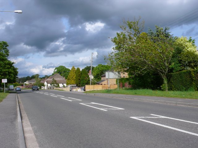
Image: © Nigel Mykura Taken: 13 May 2011
This is the main street running through the village at the southern end where it is mostly recently-built houses.
Images are licensed for reuse under creativecommons.org/licenses/by-sa/2.0
Image Location
Latitude
50.842946
Longitude
-2.773726