Conyers Green
Introduction
The photograph on this page of Conyers Green by Bob Jones as part of the Geograph project.
The Geograph project started in 2005 with the aim of publishing, organising and preserving representative images for every square kilometre of Great Britain, Ireland and the Isle of Man.

There are currently over 7.5m images from over 14,400 individuals and you can help contribute to the project by visiting https://www.geograph.org.uk
Conyers Green
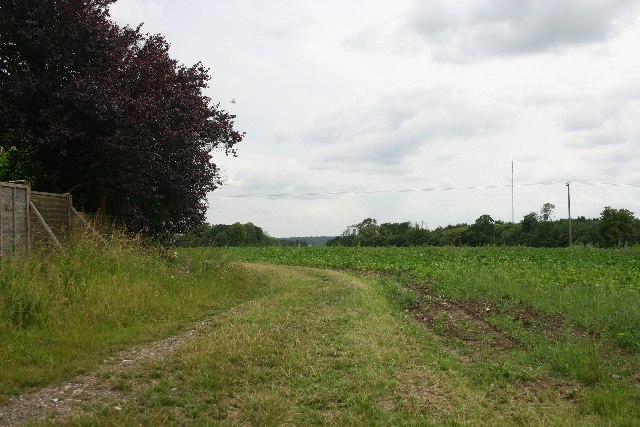
Image: © Bob Jones Taken: 5 Jul 2005
This track leads down the side of the last house in the hamlet of Conyers Green.
Images are licensed for reuse under creativecommons.org/licenses/by-sa/2.0
Image Location


Leaflet Map data © OpenStreetMap
Latitude
52.279512
Longitude
0.766196