Boilie signal cabin & gates
Introduction
The photograph on this page of Boilie signal cabin & gates by The Carlisle Kid as part of the Geograph project.
The Geograph project started in 2005 with the aim of publishing, organising and preserving representative images for every square kilometre of Great Britain, Ireland and the Isle of Man.

There are currently over 7.5m images from over 14,400 individuals and you can help contribute to the project by visiting https://www.geograph.org.uk
Boilie signal cabin & gates
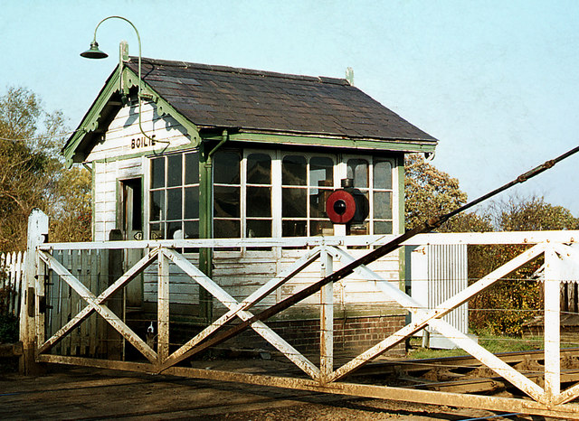
Image: © The Carlisle Kid Taken: Unknown
Situated at MP90.51 about 2 miles west of Lurgan on the main Belfast - Dublin railway line, this small cabin was closed and demolished in 1974. Location is best estimate as the site has been obliterated.
Images are licensed for reuse under creativecommons.org/licenses/by-sa/2.0
Image Location
Latitude
54.456995
Longitude
-6.384988